

Map The Jungle
The data is collected and used to create a 3D map of the area. The radar pulses are able to map out the topography while simultaneous editing out the jungle. This grants researchers an unparalleled view of what the area looked like long ago. Why was this important for the work being done in Guatemala?
Map The Jungle
Using LiDAR
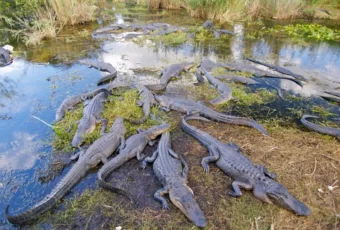
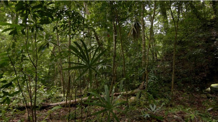
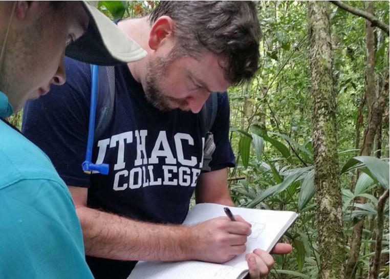
LiDAR seemed like a natural answer when the question of how to study the forested region of northern Guatemala. The over 770 square miles had barely been explored since the collapse of the Mayan empire, but that would soon change. Thomas Garrison said, “This is a game changer…[changing] the base level at which we do Maya archaeology.” But one “recent” discovery stood out from the rest…
ADVERTISEMENT
Using LiDAR